Remote Sensing of African Smallholder Yields

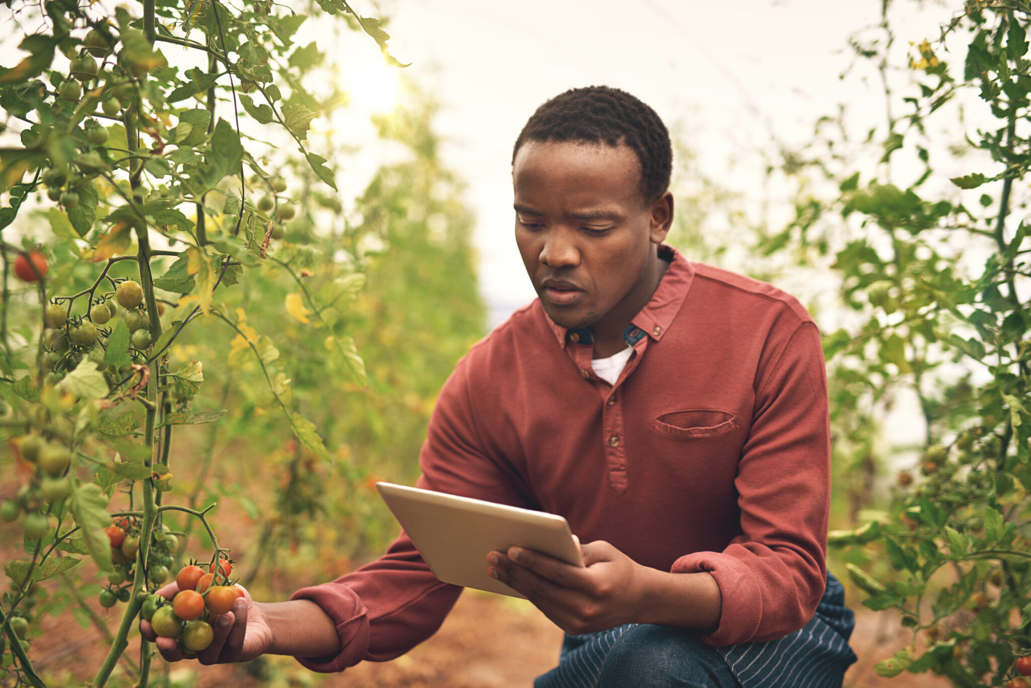
A tomato farmer inspects his crop. Nikish H © – stock.adobe.com
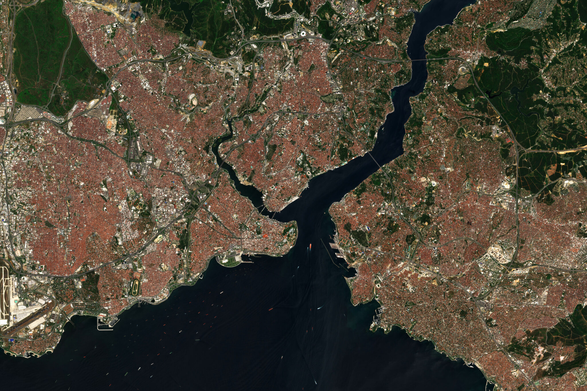
Satellite sensors have potential for understanding agricultural productivity across the world by routinely observing millions of smallholder farms. Between 2014-2015, CEGA affiliates Marshall Burke and David Lobell at Stanford University used high-resolution satellite imagery and intensive field sampling on hundreds of fields over a two-year period to measure smallholder crop yields in western Kenya, in collaboration with One Acre Fund. Results show that satellite-based measures can detect positive yield responses predict smallholder agricultural productivity as accurately as traditional survey-based methods. In addition, the satellite estimates were able to detect responses to the amount of fertilizer and hybrid seed inputs used by farmers, suggesting that satellite imagery have the potential to rapidly accelerate knowledge regarding interventions in smallholder systems and at less cost than traditional field surveys, leading to greater positive impact in rural households. Burke and Lobell’s published paper on the study can be found here.


