Measuring Crop Yields from Space

A tomato farmer inspects his crop. Nikish H © – stock.adobe.com
With Satellite Imagery, CEGA Researchers Chart New Frontiers in Measuring Agriculture
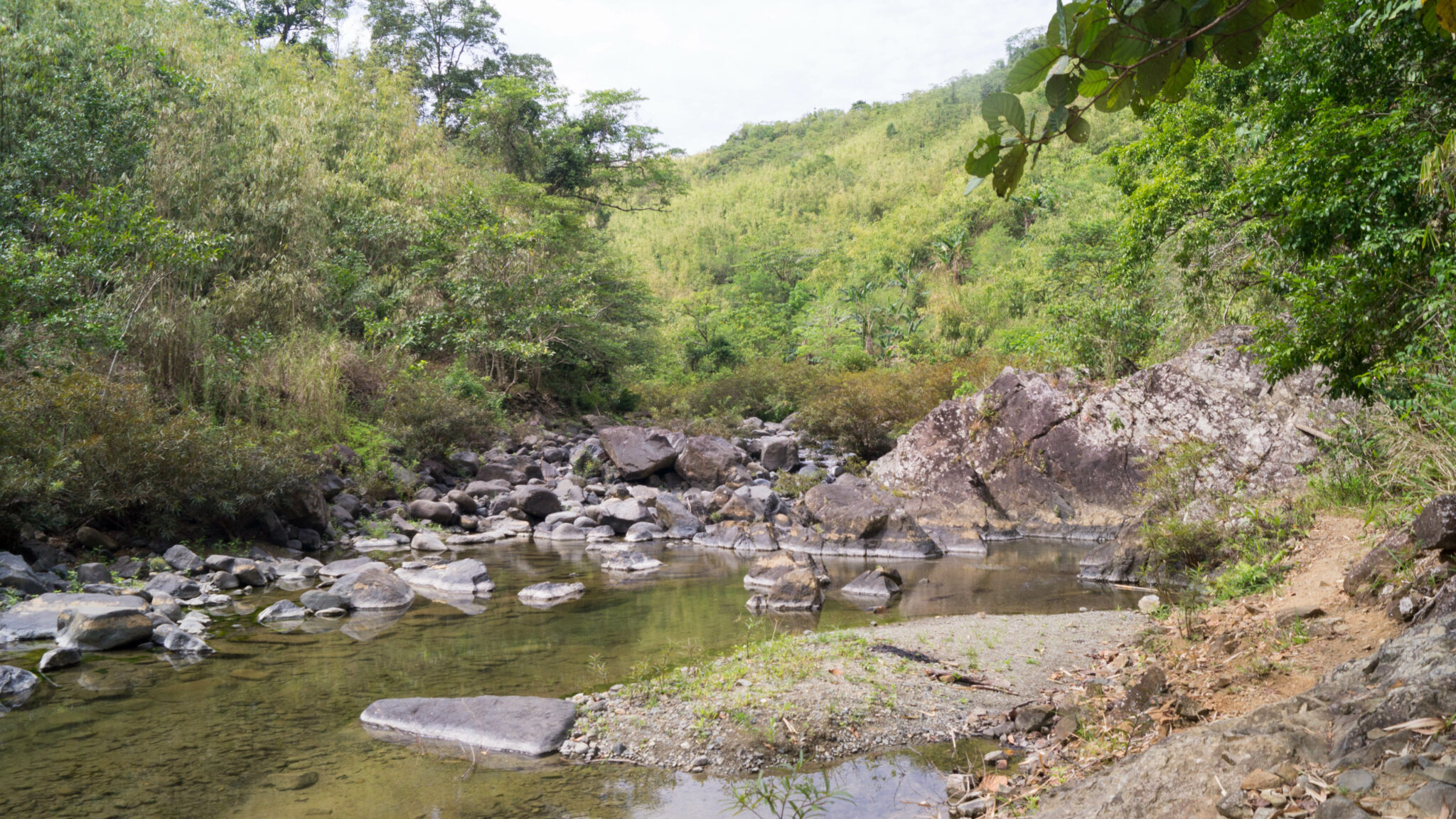
Measuring agricultural productivity of smallholder farmers helps us evaluate the effectiveness of agricultural interventions, and improve our knowledge of rural poverty around the globe. However, traditional survey-based methods of measuring agricultural productivity can be expensive, inaccurate, and time-intensive.
In 2014-2015, CEGA affiliated faculty Marshall Burke (Stanford) and David Lobell (Stanford)—in collaboration with One Acre Fund—harnessed high-resolution satellite imagery to measure agricultural productivity of smallholder farmers in western Kenya. The study helped expand the frontiers of geospatial analytics in low-and middle-income (LMIC) countries, and contributed to the founding of Atlas AI, a Public Benefit Corporation that scales non-traditional data, such as satellite imagery, and innovative measurement techniques, such as uses of Artificial Intelligence (AI), in low-resource countries.
Burke and Lobell used high-resolution satellite imagery in combination with field data from smallholder plots in Kenya to demonstrate that visual indices calculated with satellite imagery were valid and reliable in detecting small plots’ yields. They were also able to measure increased yields from hybrid seed and fertilizer inputs across small holders, and showed that these estimates were virtually indistinguishable from estimates derived from survey-based methods. In follow-up studies throughout East and West Africa, Burke, Lobell and colleagues have confirmed that in many settings, satellite-based estimates of agricultural productivity are as or more accurate than traditional ground-based measures. These studies have opened up a range of possible uses of satellite data, including better understanding why some fields and farmers are more productive than others, and in inexpensively measuring impact of specific interventions designed to boost productivity.
The data insights and methods around estimating crop yields are now being implemented at scale by Atlas AI, which was founded by Burke, Lobell, and Stefano Ermon (Stanford) in 2018. The company takes insights from the founder’s research combining satellite imagery with AI techniques, and develops market ready datasets with significant value for improving information on socio-economic circumstances, infrastructure, and agriculture around the globe, and especially in data sparse regions in Sub-Saharan Africa.
Visit Atlas AI’s research page to learn more about the continuing progress around satellite imagery data and methods for measuring agriculture.