Using High-Resolution Satellite Data to Evaluate The Impact of New Business
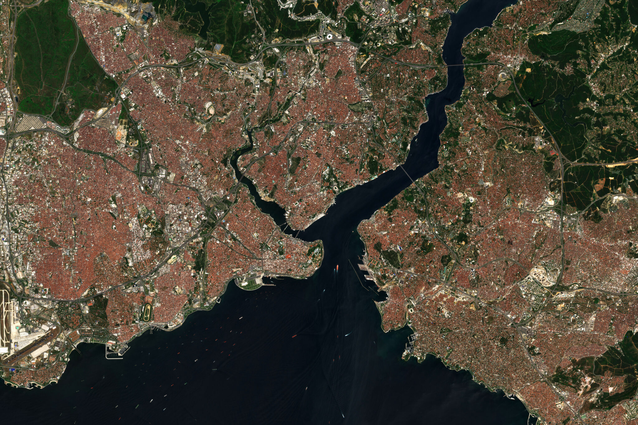
High resolution satellite image of Istanbul, Turkey contains modified Copernicus Sentinel Data. © lavizzara – stock.adobe.com
This project uses high-resolution satellite imagery to measure local economic impacts of new business formation. Piloted in Gujarat, India, the results will provide new methods for studying the impact of rapid urbanization on socio-economic levels at a global scale. The project uses satellite images to capture visual changes in economic activity surrounding new industrial plants in the periods before and after plant construction. High-resolution satellite images allow identification of the extent and quality of roads and other transportation infrastructure, the density of buildings and type of materials used in construction, the changes in vegetation type and health, and a host of other features. This in turn will facilitate quantifying the environmental impact of vegetation change on issues such as air quality, local ecology and agricultural viability.
Policymakers, especially in developing countries, believe that that bringing a new factory increases demand for locally produced goods and services, thereby expanding local employment well beyond the number of jobs created by the factory itself. However, the understanding of the micro-level impacts as a result of rapid industrial expansion is still unclear. Data from this project will fill that gap.

