Unlocking Chinese Growth with Historical Satellites
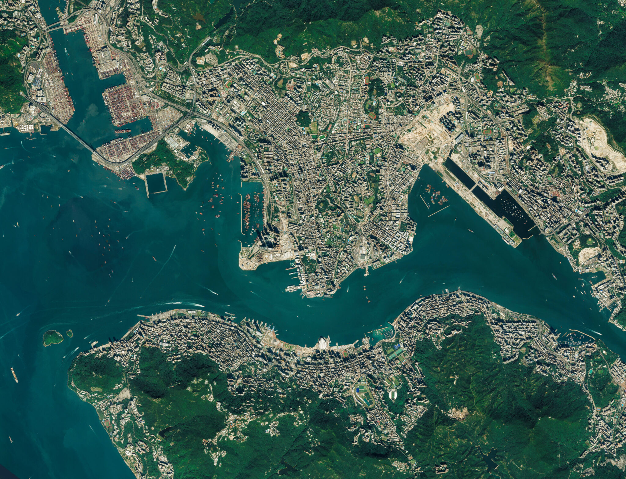
High resolution satellite image of Hong Kong, China Elements of this image furnished by NASA. © Satellite Stocks – stock.adobe.com
Context
China’s rapid economic rise is one of the most important events of the last century. However, rigorous empirical work analyzing the reforms that led to this miraculous growth is scarce, due in part to the lack of reliable, disaggregated Chinese data. We propose to harness an untapped source of historical economic data: declassified photographs from the US CORONA spy satellite program. From 1960 to 1972, the CORONA satellites collected high-resolution daytime images from almost the entire land area of the Earth. By applying state-of-the-art deep learning methods to predict economic outcomes from this satellite imagery, we hope to generate new data to better understand China’s historic economic transformation. Moreover, we hope to develop a deep learning toolkit that can later be flexibly applied to measure historical economic growth around the world.
Study Design
We will train a convolutional neural network (CNN) to predict survey-based measures of village-level economic outcomes from historical satellite imagery. The CORONA satellite imagery, available for purchase by the public from the US Geological Survey, contains multiple cross-sections for most major regions (including China), beginning in 1960 and ending in 1972.
Several hundred Chinese village-level estimates of economic outcomes are freely available through the Contemporary Chinese Village Gazetteer Dataset (CCVG). By aggregating up our village estimates, we also hope to compare our model’s predictions to official provincial-level economic data from the Chinese National Bureau of Statistics.
Results and Policy Lessons
This is a long-term project and researchers are still in the process of generating data and analyzing early results.
Using seed funding, Kim and Ferguson were able to purchase an initial set of satellite images from the US Geological Survey, which they used to pilot their measurement approach and figure out the logistical hurdles of the machine learning pipeline. Based on initial findings from these images, they were able to win an additional $60,000 in grants – enough to scale up the project and make viable a research design that studies one of the largest Chinese reforms (the Household Responsibility System).
They anticipate that the data measured through this project will form the core of a larger research agenda that will be pursued for years to come. Moreover, the researchers hope to share generated data with other researchers, opening up a whole new satellite-based research frontier for understanding the roots of the Chinese economic miracle.

