Could machine learning put impoverished communities back on the map? David Lobell and others investigate| Stanford School of Engineering
Could machine learning put impoverished communities back on the map? David Lobell, Marshall Burke, Pascaline Dupas, Jeremy Weinstein, and others are researching how learning to discern patterns in satellite imagery can help poverty-stricken areas.
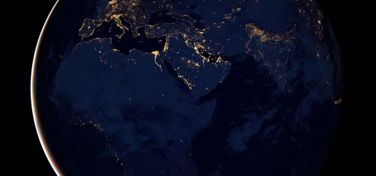
“Satellite images reveal enormous amounts of information about oncoming hurricanes, military troop movements and changes to the polar ice cap.
Thanks in part to the work of Stanford computer scientist Stefano Ermon, they can also help us understand and ultimately assist impoverished communities around the world. He recently embarked on a two-year study that builds on research in which his team created machine learning models to accurately infer poverty and wealth at the community level from satellite imagery. The model used things like nighttime light intensity, as well as features visible during the day, such as roads, tall buildings and even swimming pools, to accurately predict whether homes have access to electricity, piped water and sanitation. The program also predicts crop yields at harvest time and could help identify year-to-year changes that allow farmers to recognize and adapt to climate change.”

