Geospatial Analysis for Development
Motivation
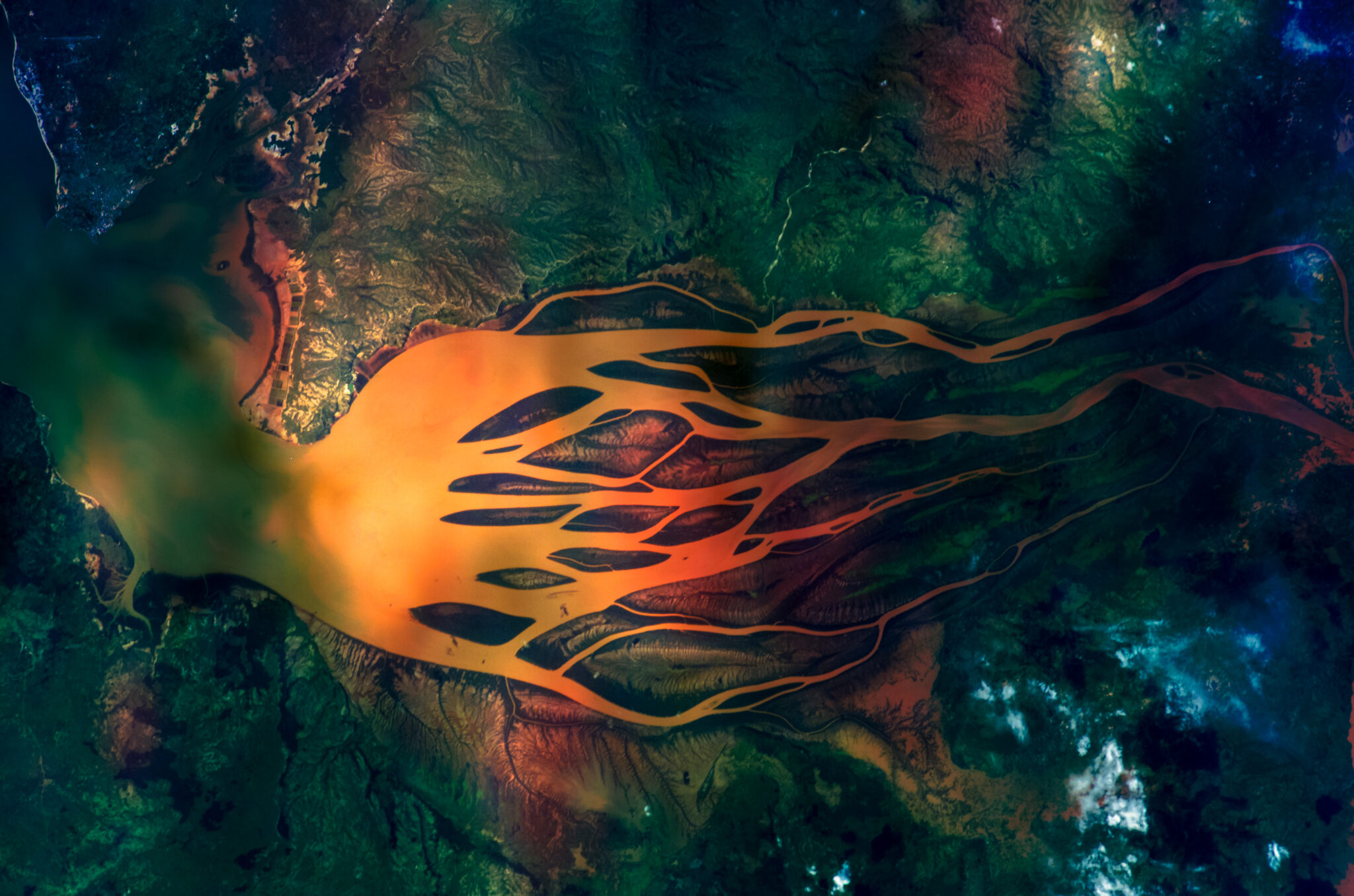
In low-resource settings, data scarcity can limit the ability of governments, NGOs, and researchers to quickly and effectively respond to global development challenges. Analytical approaches that leverage geospatial data–now abundantly available with the proliferation of satellites, sensors, and mobile phones–have immense potential to fill these gaps. Geospatial data, when combined with artificial intelligence, machine learning, and computer vision approaches, and integrated with “ground truth” data from surveys, administrative data, and other sources, can enable the real-time measurement of trends in agriculture, health, poverty, transportation, water and sanitation, disaster relief, humanitarian aid, and other critical sectors. As more of these data become available to researchers, enormous opportunities are emerging to scale the use of geospatial approaches in global development research.
CEGA collaborates with New Light Technologies (NLT), the International Initiative for Impact Evaluation (3ie), the World Bank’s Development Impact Evaluation (DIME) and Analytics and Tools (DECDG) groups, and other partners through the Geospatial Analysis for Development Initiative (Geo4Dev) to promote the use of geospatial and remote sensing data and technologies for global development research. We fill a critical gap by facilitating collaborations between private sector organizations with technical expertise in geospatial analysis, and development research academics working with policymakers.
Activities
The Geo4Dev initiative engages stakeholders from academia, as well as the public and private sectors, in the following ways:
- Resources Consolidation and Open Data: We work with our partners to develop web platforms that host regularly updated libraries for geospatial resources, including datasets and data catalogues, publications, tools, software, case studies, trainings, and webinars. Our Geo4.dev website is the Geo4Dev Initiative hub for curated selections of crowd-sourced research, training material, datasets, and more, all of which relate directly to the topic of international development and geospatial analysis.
- Geo4Dev Workshops: NLT and CEGA collaborate on the development of a geospatial analytics curricula and workshops to train researchers in the CEGA network, including those from LMICs, in the application of geospatial tools and approaches.
- Matchmaking and dissemination: Through the Geo4Dev Initiative, CEGA works to motivate collaborations between policymakers, researchers, and private firms. Through our annual Measuring Development conference and other matchmaking activities, CEGA brings policymakers face-to-face with the latest advances in geospatial analytics and directly facilitates partnerships that bring innovative data science approaches to scale in LMICs.


