Geo4Dev Workshop: Crop Yield Mapping Using Satellite Data

The circles show locations of crop trials, with the size of the circle indicating the number of trials per site (ranging from 20 to 1,249). Weather stations with daily data for at least some portion of the study period 1999–2007 are marked as crosses. The background map shows elevation, with higher altitudes appearing darker. Source: Lobell et al 2011.
The Geo4Dev Workshop series features novel applications of geospatial analysis and how they can help inform social science and public policy-related questions. The workshops teach students, faculty, and other members of our global intellectual community how to integrate these approaches into their research, and introduce practitioners at NGOs, government agencies, and industry to new geospatial analytics they can incorporate into their decision-making processes.
This workshop, led by Joel Ferguson, will guide users through the steps to combine publicly accessible satellite imagery and weather data, and agricultural trial data in a machine learning model to estimate crop productivity and yield. We draw on an existing Geo4Dev learning module, developed in partnership with AtlasAI, and apply the approach to a different dataset of publicly available data from historical maize trials in Africa. CEGA affiliated professor David Lobell and his coauthors collected these data as part of their 2011 paper in Nature, “Nonlinear heat effects on African maize as evidenced by historical yield trials.”
This workshop serves as a prelude to our annual Evidence to Action (E2A) conference. E2A 2023: Realigning Tech for Social Impact will take an honest look at the role that new technologies — from hardware innovations to advancements in digital data and service delivery platforms — have played in improving outcomes for people experiencing poverty, noting key “wins” as well as inherent limitations and trade-offs.
About the Instructor
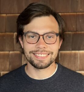
Joel Ferguson recently earned his PhD in Agricultural & Resource Economics from the University of California, Berkeley. He studies questions related to how agricultural systems around the world interact with the environment, often using tailor-made remote sensing and machine learning tools.