Annual Conference on Measuring Development (V): Crisis Preparedness and Response

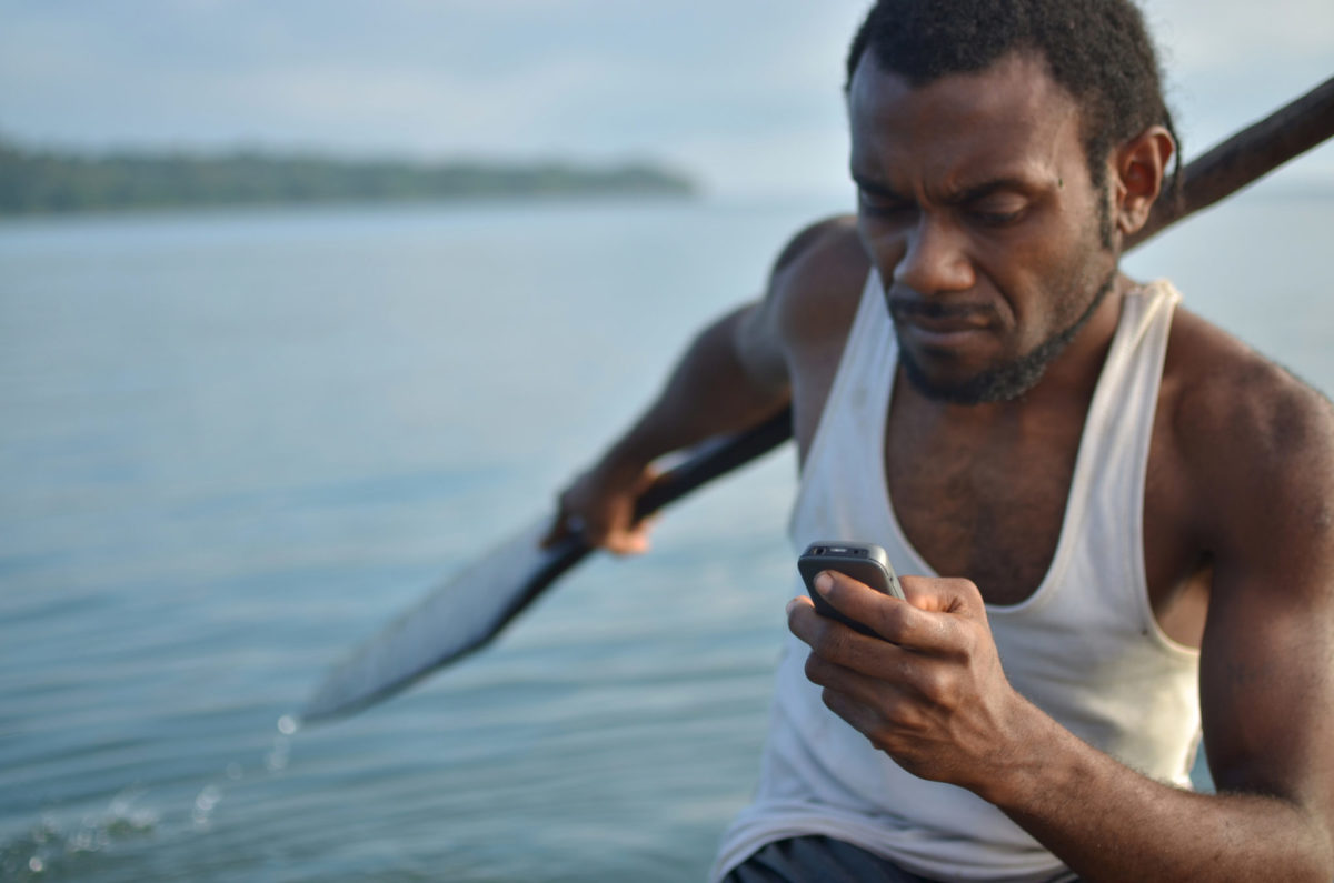
Photo credit Felipe Rodriguez
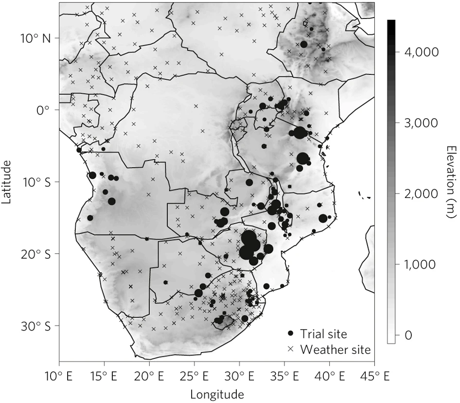
The share of the extreme poor living in areas affected by fragility, conflict, and violence is expected to rise to nearly 50% by 2030, severely hampering global development efforts. Violent conflict has spiked dramatically since 2010, with trends such as climate change, rising inequality, demographic change, new technologies, and illicit financial flows posing additional risks. In this context, collecting basic information about what is happening on the ground is notoriously difficult. Thankfully, innovations in remote sensing, mobile data collection, cloud computing, machine learning, and other tools present exciting new opportunities for data collection and response.
On March 27, 2019, the World Bank’s Development Impact Evaluation group (DIME) and Innovations in Big Data Analytics program partnered with the Center for Effective Global Action (CEGA) to host their fifth annual conference on measurement technology in Washington, D.C. The event showcased the use of cutting edge tools and methods for predicting risk, measuring (and targeting) humanitarian response, and tracking recovery and resilience in the context of conflict and fragility. The one-day event brought together prominent scholars, Bank operations staff, and development practitioners to explore the unique measurement challenges that arise in fragile environments and present real-world applications of novel measurement methods. Each year, this annual event fosters new collaborations and partnerships at the forefront of measurement in development.